GIS METHODOLOGY
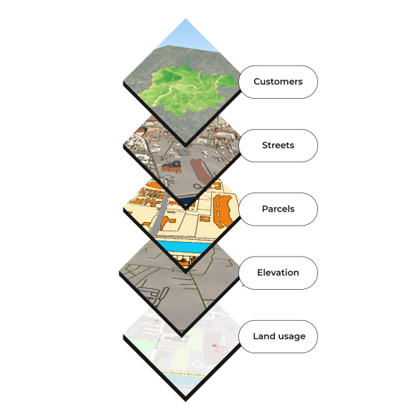
IQT uses GIS technologies to pursue a geographic approach in the production and management of services offered by the group to its customers, in order to facilitate data-driven decision-making processes in pre-location, obtaining permits, design, setting up the construction site, testing and management of any given work.
By improving the knowledge of the context where an asset is located, IQT pursues the goal of designing sustainable, efficient and safe infrastructures, and facilitating land planning and development, optimising land occupation and construction sites in urban areas.
Data integration
Geographic information systems affect three main corporate assets: people, processes, and technologies.
And are used for a variety of purposes, including:
- increasing performance at the level of managing the data produced;
- preparing Business Intelligence analyses of data and information;
- improving planning of field activities;
- facilitating the relationship between different levels of services and/or stakeholders;
- integrating BIM and GIS and the related digital twins.
We adopt a implementation and continuous updating strategy on the three assets (people, processes, and technologies) with a series of activities across various group business areas and companies:
For the implementation of GIS strategies in complex projects through the collection, processing and analysis of geographic data on the area, through the use of geographic software for geolocation and morphological reconstruction of environments and networks.
Through the use of GIS-based field software, for mapping assets using rugged devices connected to GNSS antennas. The data thus collected can be further examined by means of metric and topographic measurements, with considerable reduction in cost and time (with the synergistic use of laser scanners and drones). In this way, data can be acquired with very high accuracy through integrated reality capture solutions.
The data collected is synchronised with a GIS viewer and is processed and managed in post-processing to enable real-time use by stakeholders.
An essential component for IQT, for the storage, management and exchange of geographic data that allows desktop and analytical applications to be interoperable, in addition to enabling multi-criteria Business Intelligence operations. It also allows multiple users – appropriately profiled – to access geographic, alphanumeric and raster data and enables their management by making them relational and ensuring their security.
Development of scripts aimed at automating operations, according to the different needs, both internal to IQT and the group – aimed at making production more efficient – and arising from customer requests.
In order to identify the latest technological solutions to be implemented and to master all emerging but already adequately mature technologies. These include: Augmented, Virtual or Mixed Reality, integration and use of Artificial Intelligence algorithms (e.g., Machine Learning) so as to automate and improve the analytical capabilities of data of various kinds and facilitate effective and timely data-driven decision-making processes.